

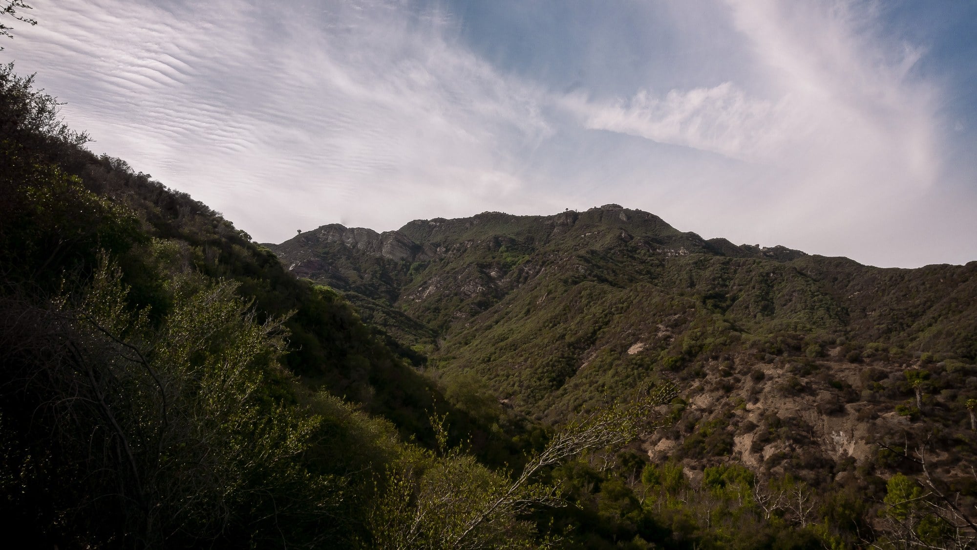
In January 1998, the host of a syndicated quiz show signed away 74 acres of undeveloped ridge and canyon in the Hollywood Hills, and the transaction registered less as celebrity gesture than as a change in the map. Alex Trebek donated the land — valued at $2 million — to the Santa Monica Mountains Conservancy, and as the Los Angeles Times reported on January 14, 1998, the conservancy's acquisitions director, John Diaz, said the gift would nearly double the amount of public parkland north of Hollywood Boulevard and east of Nichols Canyon Road.
That is the whole of the news, and it is worth sitting with the arithmetic before reaching for anything else. Land in the hills above Hollywood is among the most contested surface area in Southern California, priced by view and by proximity to the flats, subdivided over a century into lots that step up slopes at angles engineers learned to tolerate. In that market, a single parcel measured in dozens of acres is not a rounding error. Doubling the public inventory of an entire quadrant of hillside with one deed is the kind of thing that ordinarily requires bond measures, appraisals, condemnation fights, and years.
The Geometry of the Gift
What made the 1998 donation structurally useful was where it sat. The parcel adjoined Wattles Park and Runyon Canyon Park, two pieces of already-public ground that had until then functioned as islands — popular, heavily walked, and bounded on most sides by private lots and driveways. Adding acreage that touches both changes the topology of the place. Contiguity, in open-space terms, is worth more than raw area: a hundred separated acres behave like a hundred separate backyards, while seventy-four acres welded to existing parkland behave like a single landscape a person can cross on foot.
The land was already in informal public use. Hikers and cyclists moved across it on trails that existed because people had walked and ridden them, not because a public agency had designed them, and the conservancy said at the time that it planned trail improvements once the parcel came into its hands. That sequence — informal use first, ownership second, engineering third — is the ordinary life cycle of hillside recreation in Los Angeles, where the trail network is a palimpsest of ranch roads, fire breaks, service tracks, and desire lines that later acquire signage and maintenance budgets.
There is a quieter point embedded in the trail question. A path that crosses private land exists at the sufferance of whoever holds the title, and can be closed by a fence and a letter. A path inside a conservancy holding is a public fact, subject to public process. The 1998 transfer converted a set of contingent walking routes into something durable, and it did so at the point where two existing parks were reaching toward each other.
The Corridor Argument
The conservancy's interest was not only recreational. The parcel was wanted as a wildlife corridor — a connective strip through which deer, coyotes, and other species could move between the Hollywood and San Diego freeways. That framing is worth reading precisely. It defines the land not by what stands on it but by what passes through it, and it treats two freeways as the walls of a room.
Corridor thinking was, in 1998, already the governing logic of conservation in the Santa Monica Mountains, and the reason is geometric rather than sentimental. Animals in a fragmented range are not simply short of space; they are short of routes. A population sealed inside a patch too small to sustain it declines regardless of how carefully the patch is protected, because movement is what keeps a gene pool from narrowing and what allows a territory abandoned in one season to be reoccupied in the next. Freeways are the hard edges of that problem in Los Angeles — continuous, lit, and effectively impermeable to most animals traveling on the ground.
Between those edges, what remains is a chain of canyons and ridgelines running through some of the densest residential development in the American West. Each parcel that stays undeveloped is a link. Each one that is graded and built on is a break. The Trebek parcel, sitting between Wattles and Runyon at the eastern end of the range, was one of those links, and its acquisition was argued for on exactly those terms in the reporting at the time.
What Stands There Now
The land is today the Trebek Open Space, and the Mountains Recreation and Conservation Authority describes it as 62 acres at 2500 Nichols Canyon Road in Los Angeles 90046, abutting the City-owned Runyon Canyon Park, with a network of fire-road trails open to hikers, mountain bikers, and equestrians. The MRCA notes that the parkland was donated by the Jeopardy! host.
Two figures therefore attach to the same story, and they should not be merged. The 74 acres is the size of the gift as reported in January 1998, when the deed was signed and the $2 million valuation was attached to it. The 62 acres is the size of the park as the MRCA states it today. The public record cited here does not explain the difference, and no explanation should be manufactured for it; boundary descriptions, surveys, and administrative park lines are revised for many mundane reasons over a quarter century, and the honest position is to report both numbers with their sources rather than to split the difference.
What is not in doubt is the outcome. A stretch of Hollywood hillside that could have been surveyed into lots is instead a named public open space with fire roads on it, joined to Runyon Canyon, sitting inside the corridor that runs between two freeways — and the deed that made it so was signed by a private individual in 1998.