

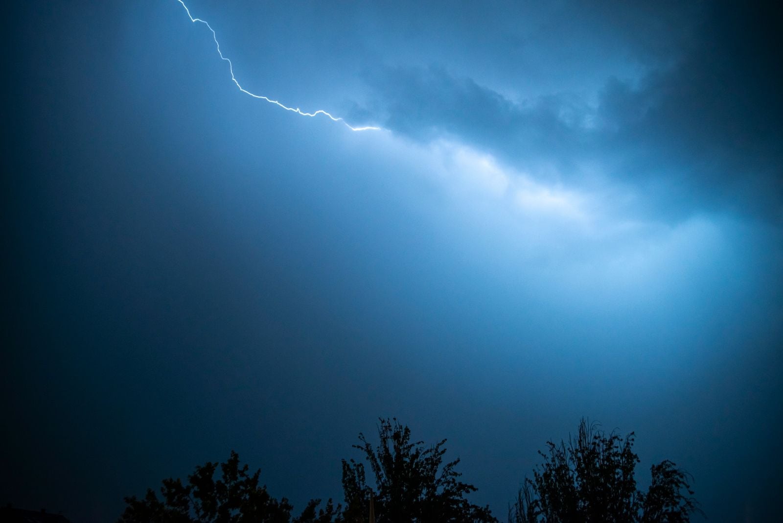
On the afternoon of April 29, 2020, a single flash of lightning tore across the sky from East Texas to the Mississippi coast, holding together as one continuous electrical discharge for 768 kilometres — roughly 477 miles, or the distance from New York City to Columbus, Ohio. The World Meteorological Organization certified it as a distance record, extending the known range of megaflashes.
That record has since been broken. The discussion of changing the lightning-discharge definition, however, predates the 2020 event.
A bolt the length of a country
Most lightning flashes travel less than 16 kilometres before dissipating. The average bolt lives for a few tenths of a second, forks through the sky in a narrow vertical column, and grounds itself once or twice before the charge is spent. The April 2020 megaflash did none of that. It travelled horizontally, snaking along the underside of a sprawling thunderstorm complex, and stayed alive long enough for satellites to trace its full length across three states.
The event was documented by NOAA’s GOES-16 satellite, whose Geostationary Lightning Mapper captures optical flashes across the Western Hemisphere at millisecond resolution. Before satellites like GOES-16 came online, ground-based lightning detection networks would have registered the flash as many separate strikes, since no single sensor could see the whole thing. The satellite view revealed it as one continuous event.
The definition discussion came earlier
A WMO committee paper published in 2017, discussing earlier long-distance and long-duration flashes, recommended removing the one-second limit from the lightning-discharge definition and using continuity instead. That recommendation cannot have been triggered by an event in 2020.
WMO’s distance and duration record categories also existed before the 2020 flash. The event extended a record; it did not create the category.
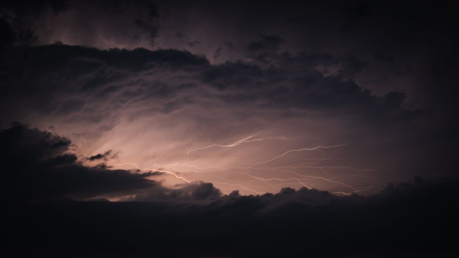
The word describes exactly what it sounds like — a rare, giant bolt of lightning that travels enormous distances through the weaker, outer regions of a very large thunderstorm complex. Michael Peterson, an applied physicist with the Severe Storms Research Center at Georgia Tech, has explained that these flashes are not born in the violent core of a storm. They form in the flatter, spread-out anvil regions where the charge structures of the cloud can support a bolt propagating sideways for extraordinary distances, as Peterson described to WXIA-TV.
The storm that produced it
The April 2020 megaflash came out of a mesoscale convective system, a category of storm that meteorologists shorthand as MCS. These are the huge, sometimes state-sized clusters of thunderstorms that roll across the American Great Plains and the Deep South in spring and summer. They can span 500 kilometres end to end, generate torrential rain and hail, spawn tornadoes, and hold together for many hours after nightfall.
The stratiform region — the flatter, quieter part of an MCS that trails behind the storm’s leading edge — is where megaflashes tend to form. The charge inside those clouds is arranged in broad, layered sheets rather than the tight vertical columns of a typical thunderhead. When a bolt begins in that environment, it can travel horizontally through the sheet for as long as the charge holds together.
On April 29, 2020, the conditions were near-perfect. A large convective system was draped across the Gulf Coast states. The stratiform layer stretched from East Texas across Louisiana and into Mississippi. When the bolt fired, it had a continuous highway of charged cloud to run through.
How you photograph a bolt from orbit
The Geostationary Lightning Mapper on GOES-16 sits roughly 36,000 kilometres above the equator and stares continuously at the Americas. It records the optical pulses of lightning at 500 frames per second across a wide-angle field of view. When a flash occurs, the instrument logs the location, brightness, and duration of every illuminated pixel, then software stitches those pixels together into a single event if they belong to the same continuous discharge.
The 2020 megaflash appears in that dataset as a vein-like green trace that meanders across the map for hundreds of miles. Blue and red dots mark where the bolt touched the ground.
That satellite-based method is what made the record possible. It is also what has since produced the current record-holder — a flash originally missed in 2017 and only found years later when the archived data was reanalysed.
The record that broke the record
In 2025, the World Meteorological Organization certified a new longest-flash-ever: a bolt that stretched 829 kilometres, or 515 miles, from East Texas to near Kansas City on October 22, 2017. The event lasted 7.39 seconds and struck the ground more than 100 times along its path, according to findings by Georgia Tech researchers supported by NASA.
The 2017 event beat the 2020 Texas-to-Mississippi flash by about 61 kilometres, or 38 miles. It had been sitting quietly in the GOES-16 archive for approximately eight years, undetected, because of how the original satellite data was processed. When researchers went back and reanalysed the observations, the bolt emerged from the noise as one continuous discharge.
A car would need eight to nine hours to cover the same ground. A commercial jet would need at least ninety minutes, as the WMO noted when the record was announced. The bolt did it in 7.39 seconds.
Where megaflashes live
The Great Plains of the United States is one of the few places on Earth where the atmospheric ingredients for megaflashes come together with any regularity. Warm, moist air from the Gulf of Mexico rides north and meets colder, drier air spilling east off the Rockies. The collision zone spawns the massive convective systems that provide the anvil clouds in which megaflashes propagate. The other global hotspot is the La Plata Basin in southern South America, where a similar collision of warm subtropical air and cool air off the Andes produces the same class of storm.
The longest-duration lightning flash on record — a bolt that lasted 17.102 seconds — happened over Uruguay and northern Argentina on June 18, 2020. The longest-distance flash lives in the American Plains. Between the two hemispheres, they define the current edges of what a lightning bolt is known to be capable of.
Randall Cerveny, a professor of geographical sciences at Arizona State University who chairs the WMO’s committee on weather extremes, has said it is likely that even greater extremes exist and will be observed as more high-quality lightning measurements accumulate. The upper bound, in other words, has not yet been found.
What it feels like on the ground
A megaflash overhead does not look like a horror-movie sky-splitting bolt. From directly below, the strike zones would appear as ordinary cloud-to-ground lightning — bright flashes, thunderclaps, the usual weight of a thunderstorm. The extraordinary thing is that observers hundreds of kilometres apart, from small towns in East Texas to communities on the Gulf Coast of Mississippi, were watching pieces of the same bolt.
Lightning kills about 20 people each year in the United States and injures hundreds more, according to National Weather Service data. Florida leads the country in fatalities because of the frequency of its afternoon thunderstorms. The megaflashes themselves are not the deadliest bolts — they discharge across huge cloud volumes rather than concentrating their energy in a single strike — but each one seeds dozens of ground contacts along its path, and any of those contacts can be lethal.
The instruments that keep looking
GOES-16 has a sibling, GOES-18, watching the western Americas, and the two satellites together provide continuous lightning coverage from the Atlantic to the Pacific. Europe’s MTG-I1 satellite carries a comparable Lightning Imager over Africa and Europe. Between them, the world now has near-total optical coverage of lightning activity across the Americas, Europe, and Africa, at a temporal resolution that would have seemed like science fiction to the meteorologists who wrote the one-second flash definition into the AMS glossary decades ago.
That coverage is why the records keep falling. The April 2020 megaflash illustrates how satellite observations expanded the scale of lightning that researchers could measure.
GOES-16 data enabled the recent satellite-based records, but earlier WMO distance and duration records were measured with ground-based lightning networks. The 2017 bolt from Texas to Kansas City was hiding in the data for nearly a decade, only surfacing when scientists went back to look. There is no reason to think it is the biggest one in there.
Extending the measured limits
The 768-kilometre event belongs to an expanding record of unusually long lightning flashes. WMO had already certified earlier megaflash records. Better observations can extend those records without making each new event the origin of a scientific definition.
The next record will depend on measurements and formal evaluation. The possibility of a larger flash is not evidence that a particular future storm will produce one.
Correction, 3 October 2026: The earlier headline and body incorrectly credited the April 2020 flash with prompting a definition change and creating a WMO record category. The definition recommendation was published in 2017 and the record categories already existed. The claim that all megaflash records came from GOES-16 has also been corrected.